Catalog Services
The Catalog Service for the Web (CSW) is an OGC Standard to publish and search geospatial data and related metadata on the internet. It describes geospatial services such as Web Map Service (WMS) and Web Map Tile Service (WMTS).
In MapStore the Catalog offers demo services that allow you to extract the data and add them to the map from GeoServer or to create connections to other Geoportal services.
Adding Layers from Demo Services
CSW, WMS and WMTS Demo Services are available by default allowing you to import layers from GeoServer and to add them to your map.
Starting from a new map or an already existing map:
- Click on the Burger menu button
 from the main menu bar.
 - Click on the Catalog option from the list
 .
.
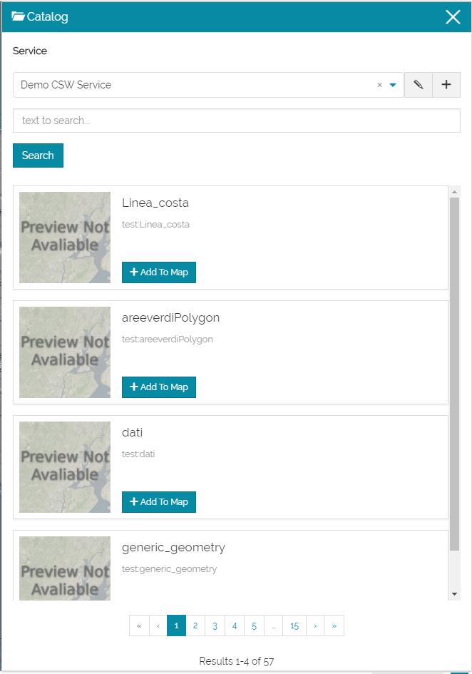
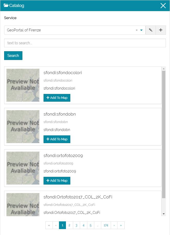
The Catalog page will open showing a list of services, a search box to search the layers by name and a list of the retrieved layers ready to be added to the map.
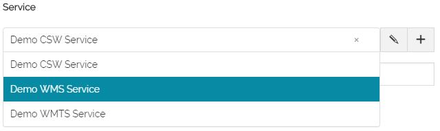
- Select from the list Demo WMS Service for example.
- Type a text in the search box, e.g. black, then click on the search button.
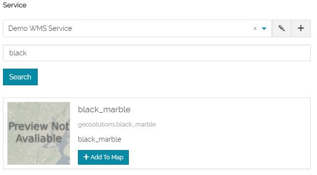
- Add the layer to the map clicking on
 .
.
Adding and Editing a Service
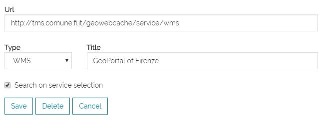
As mentioned before, MapStore allows you to connect to remote services and to import the data from them.
- Click on the
 button to add a new service.
- Type the URL name, e.g. http://tms.comune.fi.it/geowebcache/service/wms, and the Title.
- Select the Type of the service.
- Save the service created.
A list of layers will be loaded from the portal ready to be added to your map.
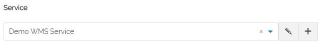
In order to edit a service, Click on the edit button  and apply your changes.