Performing Measurements
Measure tools in MapStore allow the user to perform distance, area and bearing measurments on the map.
Starting from a new map or an already existing map:
- Click on the Burger menu button
 from the main menu bar.
 - Click on the Measure option from the list
 .
.
A pop-up page will open showing the measurement tools to use.
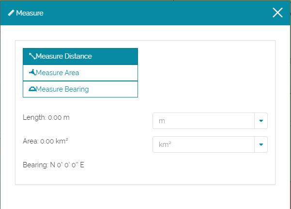
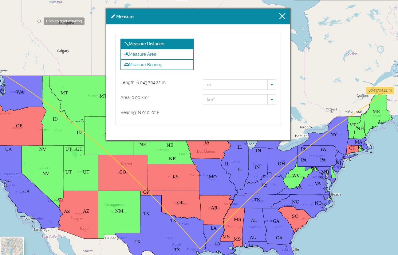
Measuring Distances
Since MapStore works in geographic coordinates, the measured distances are geodesic. You can draw a segment line or multi-segments line.
-
Click on Measure Distance
 .
. -
Click on the map to draw the starting point and the nodes between the segments.
-
Double-click to end the line drawing.
The length will be reported as a tool tip on the end point and on the measure page. A list of measurement units is available and can be set at your leisure.
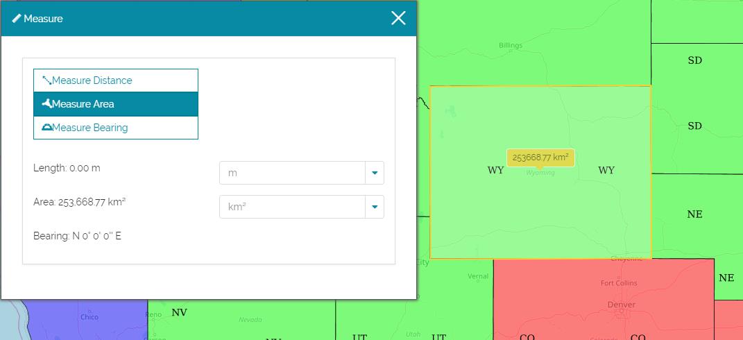
Measuring Areas
-
Click on Measure Area
 .
. -
Click on the map to draw the vertices of a polygon.
-
Double-click to end your drawing sketch.
The area will be reported as a tool tip and on the measure page. A list of measurement units is available and can be set at your leisure.
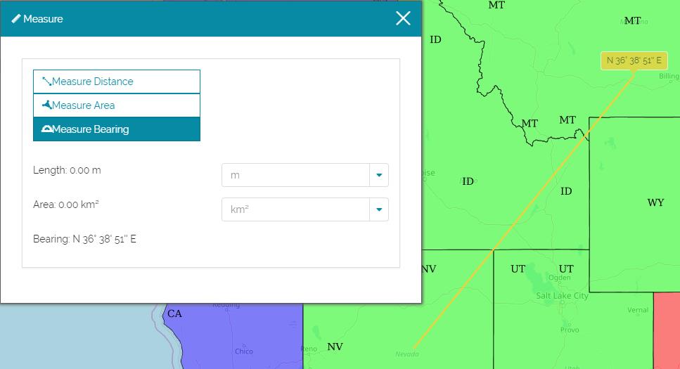
Measuring Bearings
Bearings measurements allow you to measure directions and angles. In the quadrant bearing system, the bearing of a line is measured as an angle from the reference meridian, either the north or the south, toward the east or the west. Bearings in the quadrant bearing system are written as a meridian, an angle and a direction. For example, a bearing of N 30 W defines an angle of 30 degrees west measured from north. A bearing of S 15 E defines an angle of 15 degrees east measured from the south.
-
Click on Measure Area
 .
. -
Click on the map to draw the starting point.
-
Choose a direction.
-
Click to draw the end point.
The bearing measure will be reported as a tool tip and on the measure page.